

NextGen Environmental Reseach Inc.
Mapping, Monitoring, & Assessing Environmental Change

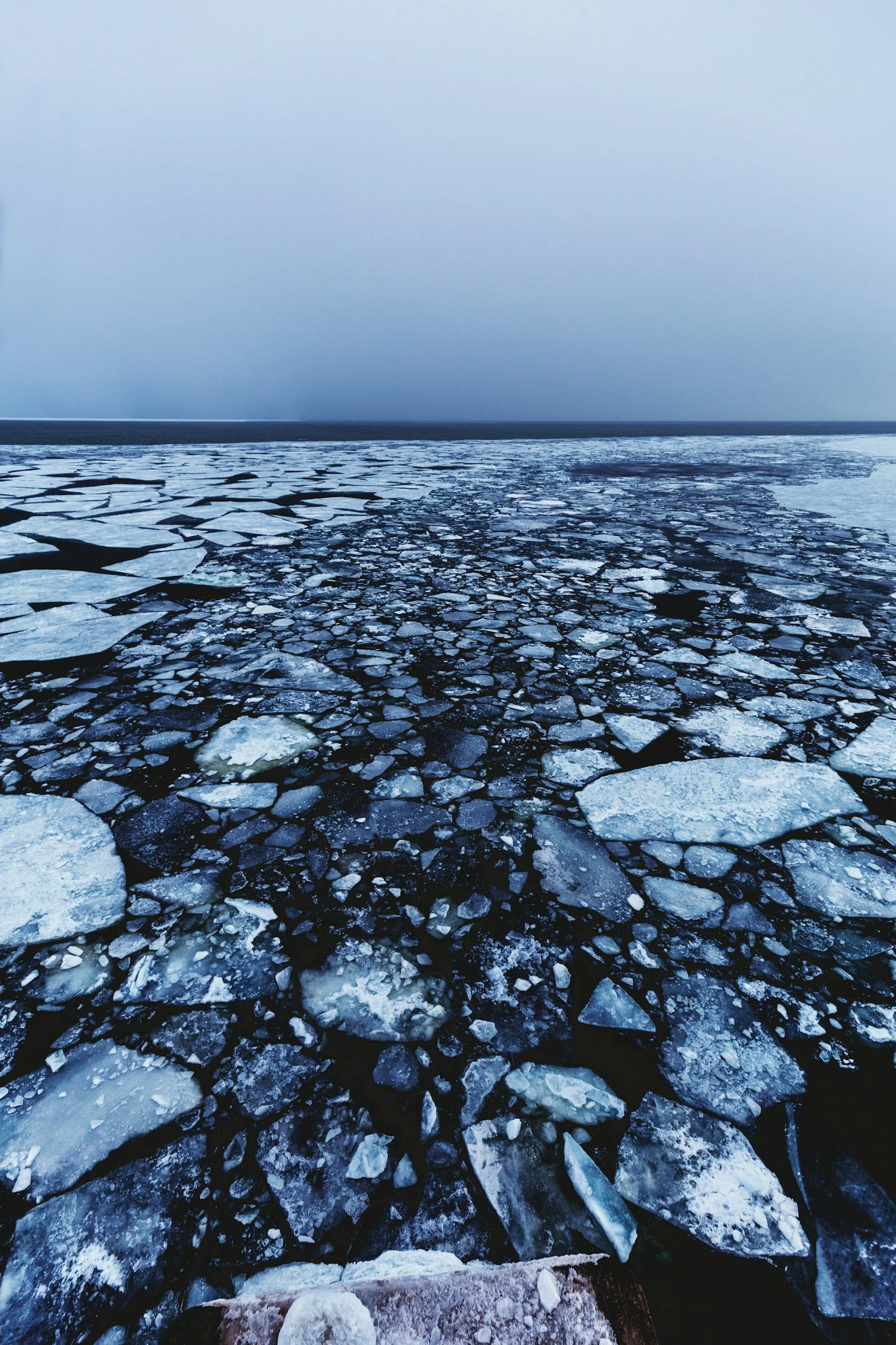
IceTime™: Making Lake Ice Travel Safer
The First and Only App to Map Lake Ice Hazards
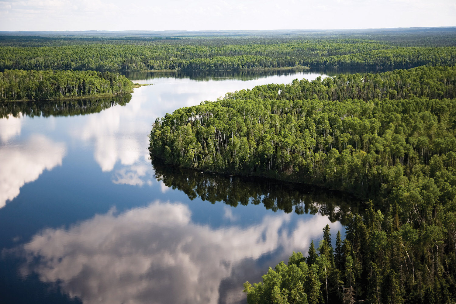
FloodFinder™: Stay Informed. Be Climate Resilient.
Transforming Flood Management & Empowering Communities

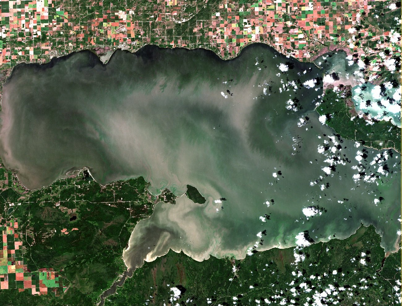
BloomFinder: Algal Advisory Service
Stay Ahead with Near Real-Time Algal Bloom Alerts
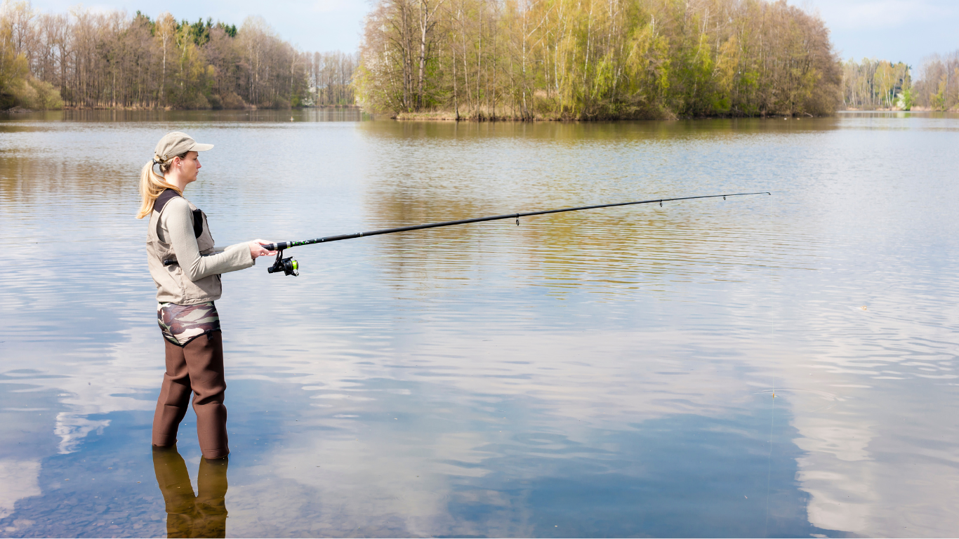
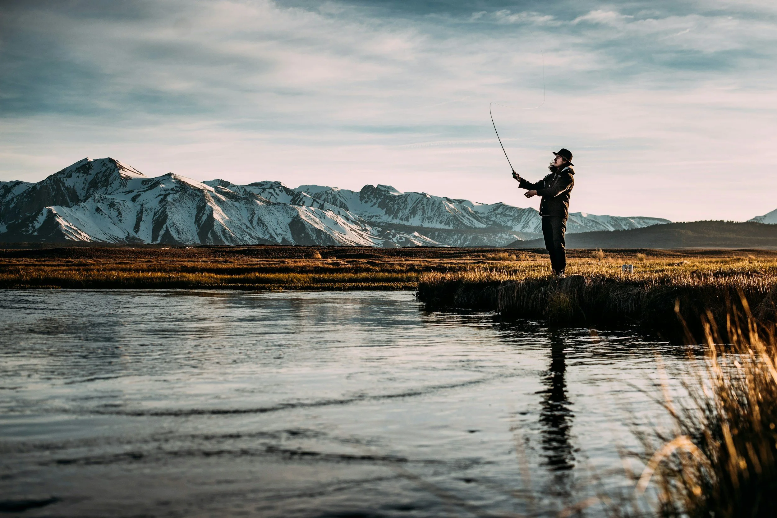
Anglers Leaderboard™: Real-Time Angling Platform
Every Catch Counts with our PhotoMeasure™ Board

We Thrive on the Cutting Edge of Technology
AI, Machine Learning, & Computer Vision

Near Real-Time Satellite Radar Imaging, All Weather Day & Night
Specializing in Satellite Synthetic Aperture Radar
Helping Communities Adapt and Build Resilience for Tomorrow
Stronger Together Against Climate Change
NextGen Environmental Research Inc. (NGE) is a Canadian-owned environmental
research and development company that maps, monitors, and assesses
environmental change using satellites, unmanned aerial vehicles (UAVs/drones),
and acoustic remote sensing technology on land, water, and ice.
NGE is growing the next generation of environmental technologies. We conduct
novel research, develop new technologies and commercialize them.
We are a global leader in the development of near real-time satellite radar
applications for mobile and desktop devices on lake ice and freshwater.


Our Services
Mapping and Monitoring Solutions
-

Unmanned Aerial Vehicles
We deploy fixed wing drones for high-resolution aerial imaging. We capture detailed data on environmental change and to validate satellite imagery.
-

Satellite Imaging
Leveraging satellite technology, we provide large-scale, near-real-time monitoring of environmental conditions on land, water, and ice.
-

Acoustic Remote Sensing
We map and monitor underwater changes using acoustic technology to offer insights into aquatic environments.
Assessment Solutions
-

Geographic Information Systems
Our GIS services analyze spatial data to accurately map and assess environmental changes, supporting informed decision-making.
-

Species & Habitat Assessment
We assess the impact of environmental changes on species and habitats, delivering crucial information for conservation and management efforts.
-

Satellite & Drone Commercialization
Engaging in current research and commercialization projects, we develop innovative imaging solutions to address emerging environmental challenges.
NGE delivers innovative solutions to environmental challenges
-
![IceTime™: Lake Ice Hazard Mapping App]()
IceTime™: Lake Ice Hazard Mapping App
The First and Only App to Map Lake Ice Hazards
IceTime™, provides near-real-time ice hazard information (< 12 hours after satellite overpass) on desktop and mobile devices.
Developed with support from the Canadian Space Agency, it uses AI technology trained on satellite radar image data from 65, 000 lakes to map water, ice types, and lake ice hazards.
Personal subscriptions visit icetime.app.
Business inquiries: info@nextgenenvironment.ca.
Operational.
-
![Anglers Leaderboard™]()
Anglers Leaderboard™: AI Platform
Revolutionizing Fishing Competitions
Anglers Leaderboard™ is a real-time angling platform that lets everyone track catches and compete, regardless of experience or gear.
With SpotMapper™ and patent pending PhotoMeasure™ board powered by AI and computer vision, Anglers Leaderboard™ makes every catch count.
Join our community of anglers and enhance your fishing experience.
Subscribe: AnglersLeaderboard.com
Operational.
-
![BloomFinder: Algal Advisory Service]()
BloomFinder: Algal Advisory Service
Algal Advisory Service Reaches Fourth Year of Operation
BloomFinder, our passion project for Lake Winnipeg, helps recreational users by providing near real-time algal bloom information.
Using satellite imagery, social media updates, and real-time beach user info, we help people choose beaches with no or less algae.
Join our BloomFinder Facebook Group to stay updated and see images.
Operational.
-
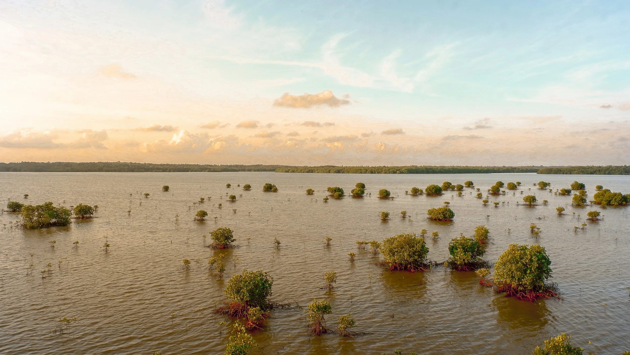
![FloodFinder™: Flood Intelligence]()
FloodFinder™: Flood Intelligence
Stay Informed. Be Climate Resilient.
FloodFinder™ offers flood monitoring using Synthetic Aperture Radar satellite imaging and NGE's near real-time AI platform.
This ensures reliable data collection regardless of weather or time of day.
Stay informed and boost climate resilience with accurate, near real-time flood data for proactive decision-making by community leaders and EMO’s.
Operational.
-
![]()
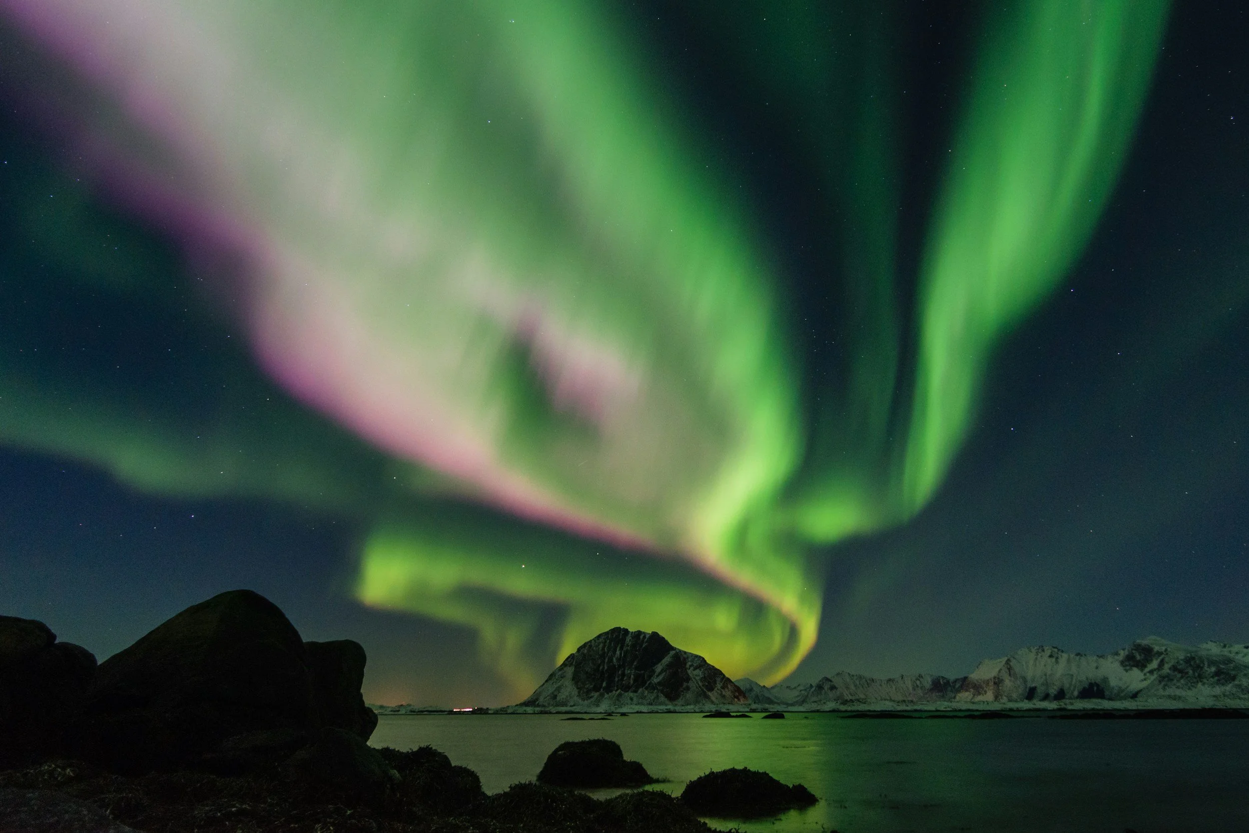
AuroraFinder™: Aurora Borealis Viewer
The Best Aurora Borealis viewer today! Powered by AI.
Put away your forecast and geomagnetic activity tools. Get a good sleep when the Aurora are absent.
AuroraFinder™ will notify you when its time to have a look! No Aurora right, now? No problem. AuroraFinder™ provides you with a carousel of recent Auroral events at levels of brilliance that you set. Beautiful northern lights video is always at your fingertips.
NGE is proud to partner with the Churchill Chamber of Commerce.
Operational.
-
![]()
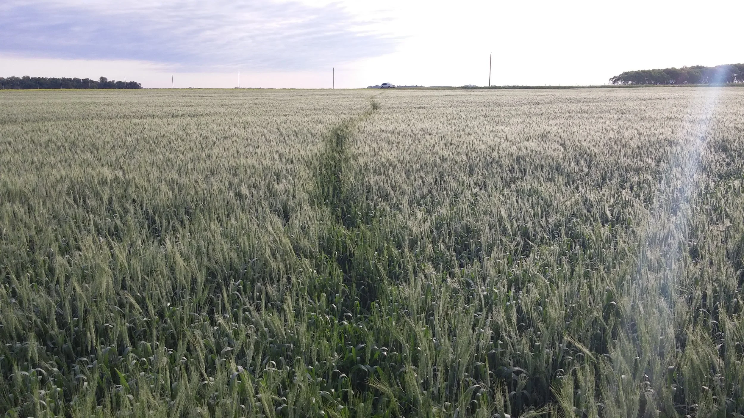
Biodiversity Habitat Assessment System
NGE Inc. recently competed to win a 3 calendar year project with the Canadian Space Agency. We are developing a remote sensing capacity to assess land cover change in crop and non-crop areas and to identify new and small ephemeral water bodies to track climate change using synthetic aperture radar satellite data and machine learning.
A key tenet of the project in southern Manitoba is to develop a digital assessment system for local, provincial, and federal governments to assess net change and to focus effort and funding to municipalities where change is active.
Research and Development Phase 2026

NGE leverages cutting-edge technology to address emerging environmental challenges, leading to innovative solutions operating on actionable intelligence that benefit communities.
What Our Clients Say
Get In Touch
Contact us to discuss your next project! Our team is ready to provide tailored solutions and expert guidance to bring your vision to life. Whether you're enhancing existing systems or exploring new opportunities, we're here to help you achieve your goals.